

Denver Skylines and Neighborhoods Photos
Uptown Photos
Other Metro Area Skylines and Neighborhoods Photos
New LoDo/Central Platte Valley Projects
New Cherry Creek/Glendale/Colorado Blvd Projects
New Highland Neighborhood Projects
New Ballpark/Curtis Park Projects
New Golden Triangle/Capitol Hill Projects
My Favorite Skyline Pictures From Around The World
|
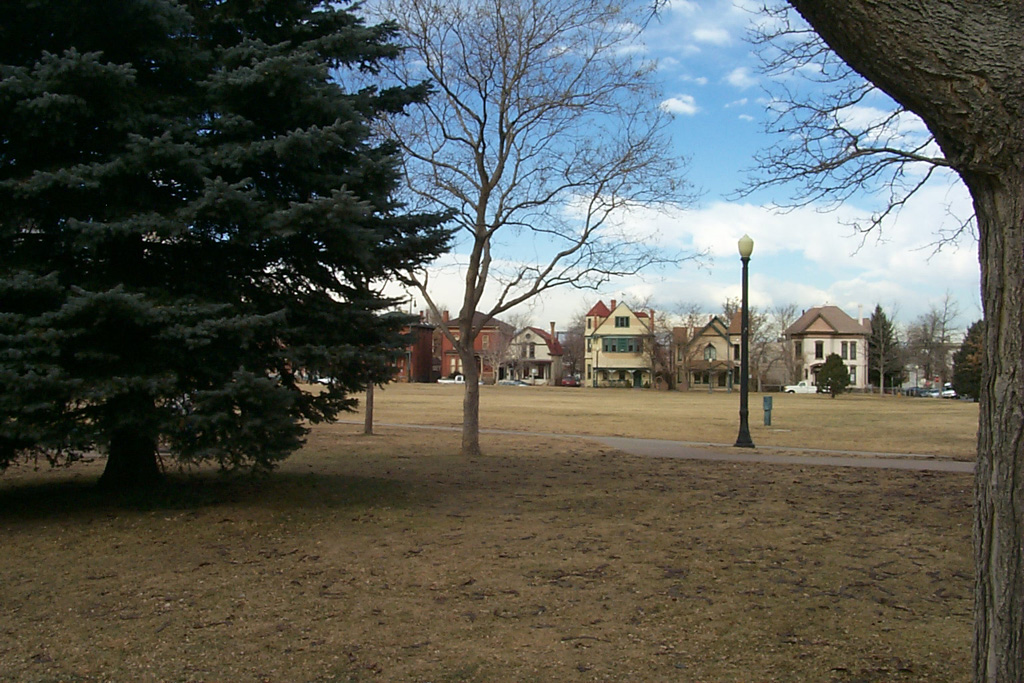
Uptown The Uptown neighborhood was one of Denver's first streetcar suburbs in the late 1800's. The neighborhood was once filled with mansions built by some of Denver's wealthiest business owners. However, during the 1960's and 1970's, many of the blocks on the western side of the neighborhood, closest to downtown, were razed to make room for surface parking lots. Thankfully, the Victorian era homes in the eastern portion of the neighborhood survived. The neighborhood is currently undergoing a buildings boom, with the surface lots now being replaced by condominium and loft buildings of all sizes. The current population of the neighborhood is approximately 8,000. (Click on the thumbnails for larger pics) |
|
|
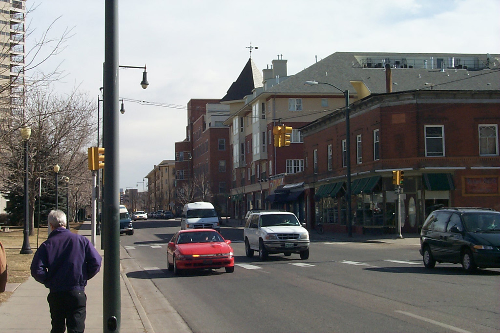
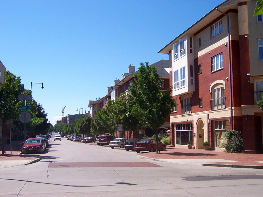
Uptown Looking east on 20th Avenue, a mix of old and new construction. |
 |
|
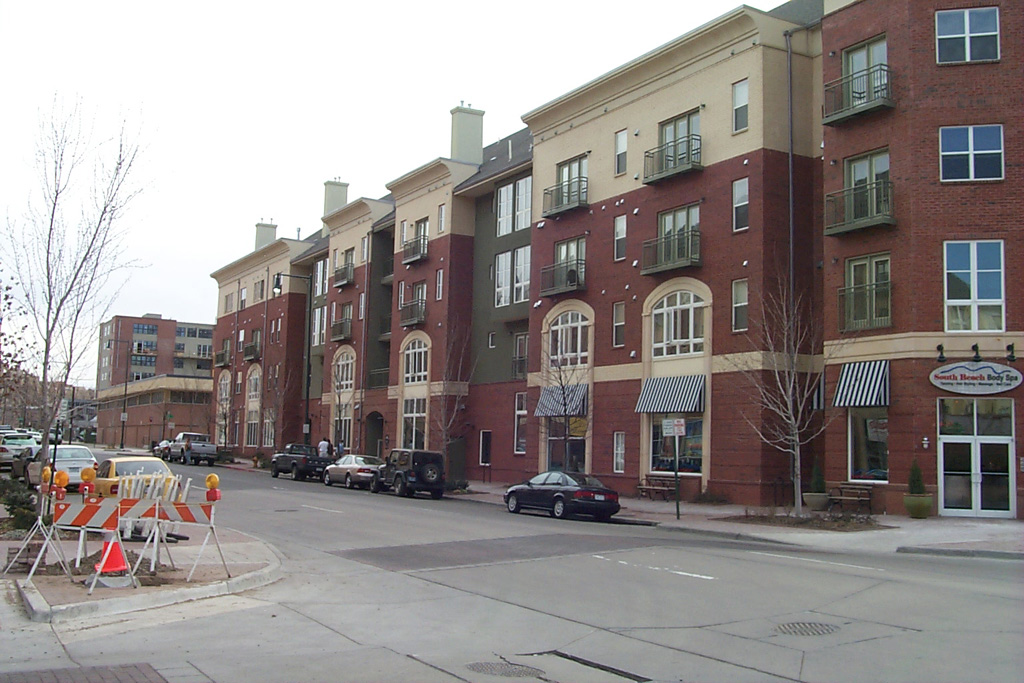
Uptown Square A multi-block apartment project in the heart of the neighborhood. |
 |
|
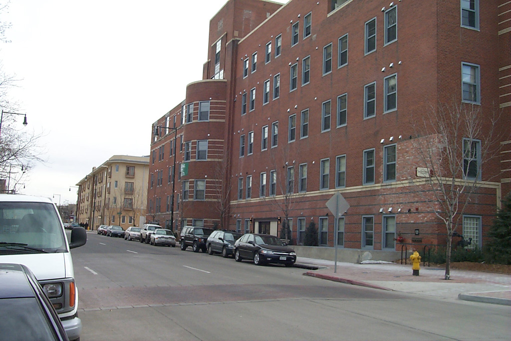
St. Lukes Hospital The Uptown Square project integrated the old hospital building into the development. |
 |
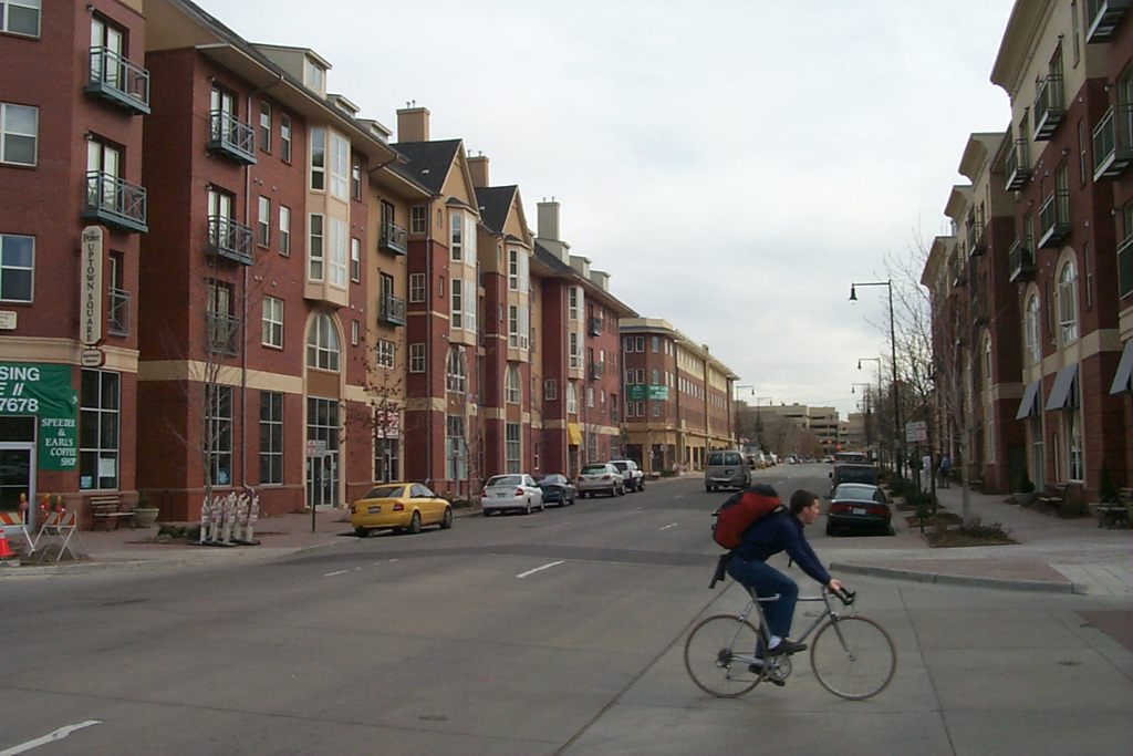
| Uptown Square Looking east on 19th Avenue towards Children's Hospital. |
 |
|
Victorians Homes on the north side of Benedict Park. |
 |
|
20th Avenue Condos and retail along a neighborhood street. |
 |
|
Uptown A view south through the neighborhood. |
 |
